The Laboratory aims to fill this gap between the relatively small “archaeotechnological” community and general archeology through education. To strengthen and shape the education of archaeologists in the use of digital spatial analysis as a tool for better data organization and analytical tool through actions – seminars – courses adapted to the real needs (practical and theoretical) of the archaeological process.
Mission
As the experience with GIS systems increases and their use becomes more widespread in the archaeological community it becomes self-evident that these systems, especially open source GIS can provide an extremely useful toolbox that due to its open and collaborative nature, can adapted to the core subject of higher education. Through this basic education, students at all levels should be able to develop skills and use geospatial data for a range of projects related to their courses, research or the spatial dimension of field archeology.

The course was designed over a semester through a series of seminars and exercises that explain data management mainly through the examples shp and kml. Basic GIS manuals such as Making Maps: A Visual Guide to Map Design for GIS (Krygier and Wood 2005), How to Lie with Maps (Monmonier 1996), and the Quantum GIS User Guide (QGISDevelopment Team 2011 [2013]) were used selectively for Group and personal practice in geospatial technology (which is part of the basic practical knowledge in handling a FOSS GIS) helped learners to develop skills and abilities in a wide range of relevant technologies that will help them either in tasks field or GIS workplaces
However, this need for education must include some key pillars
• Basic knowledge of the theory of Geographic Information Systems
• Basic use of programs
• Dealing with problems that may arise from the application of geospatial information systems
• Basic cartographic knowledge
• Use and integration of data from different systems
• Knowledge of all the different ways of collecting, processing and integrating data into a GIS system.
• Knowledge of digitization, georeferencing and DEM interpolation
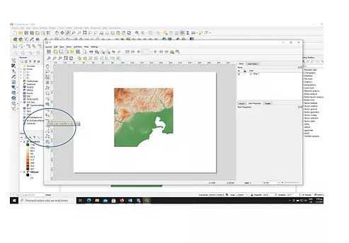
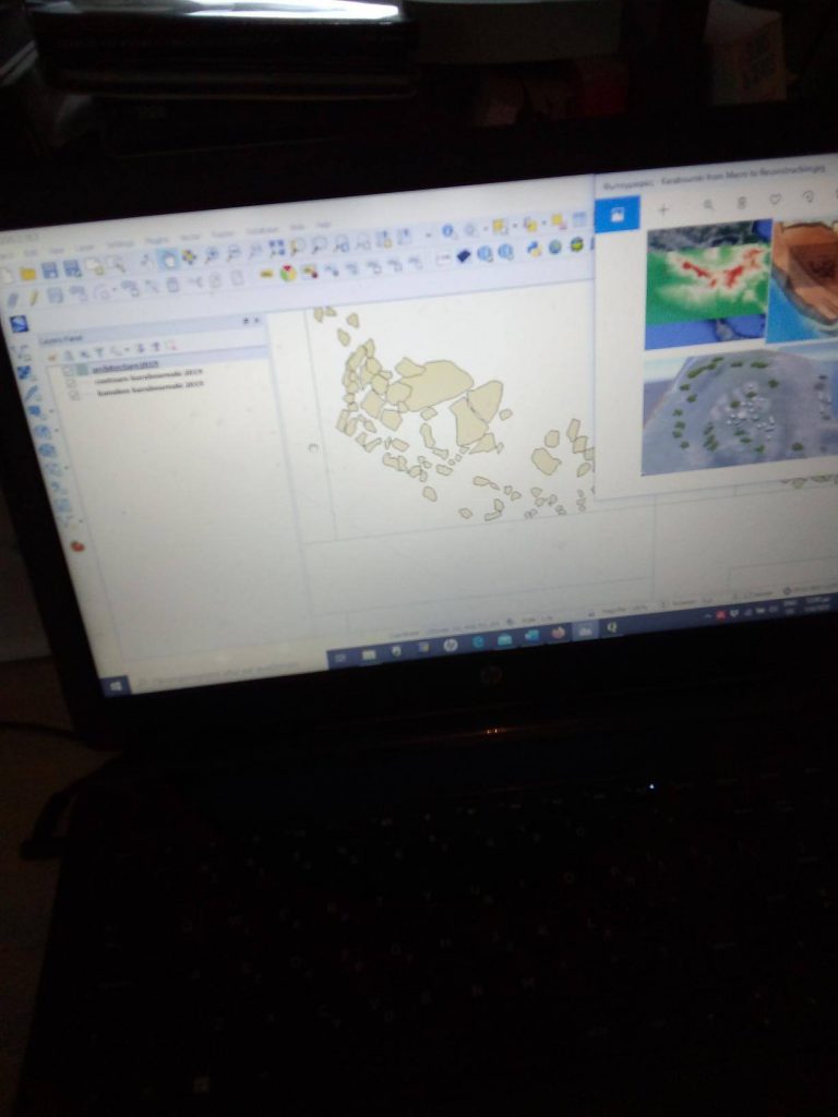
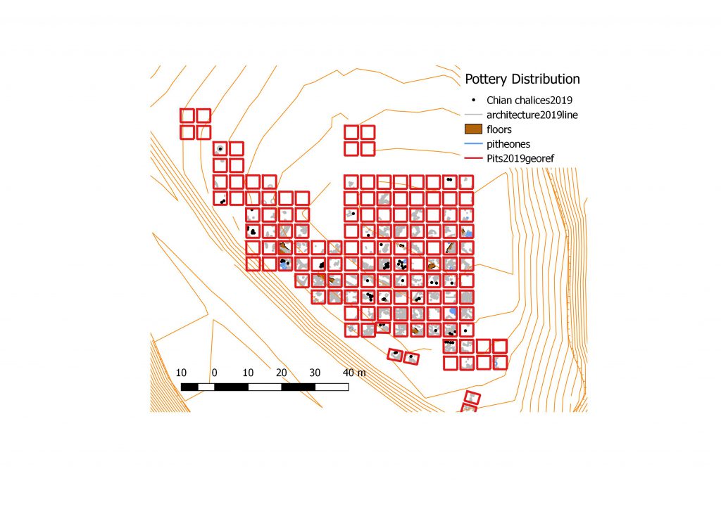
Sample of GIS lessons