PAST NEWS:
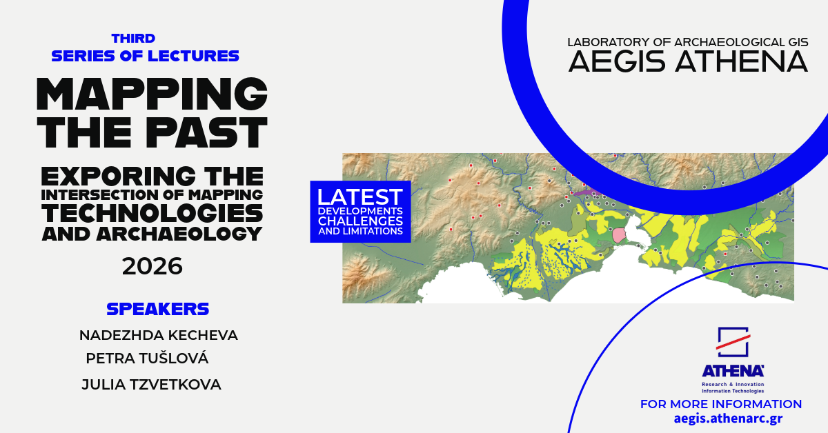
Third Series of Lectures 2026
The third series of the online lectures Mapping the Past: Exploring the Intersection of Mapping Technologies and Archaeology continues its mission to introduce archaeological and broader audiences to the rapidly evolving field of mapping archaeology and the methodological challenges that accompany it. his new cycle focuses on the archaeology of Bulgaria, a country with an exceptionally rich and diverse archaeological landscape. Through three distinct case studies, presented by specialists working directly in the field, the series will showcase the methodological tools and research strategies used to uncover, document, and interpret Bulgaria’s past.By a wide spectrum of approaches— from advanced remote sensing and geospatial analysis to survey methodologies and site-based mapping. the series illustrates how digital technologies are reshaping our understanding of ancient landscapes. At the same time, it highlights the importance of methodological reflection, transparency, and interdisciplinarity in archaeological practice. The lectures aim not only to share new findings but also to foster dialogue on the potentials and limitations of mapping technologies, offering valuable insights for students, researchers, and anyone interested in how we reconstruct the ancient world.
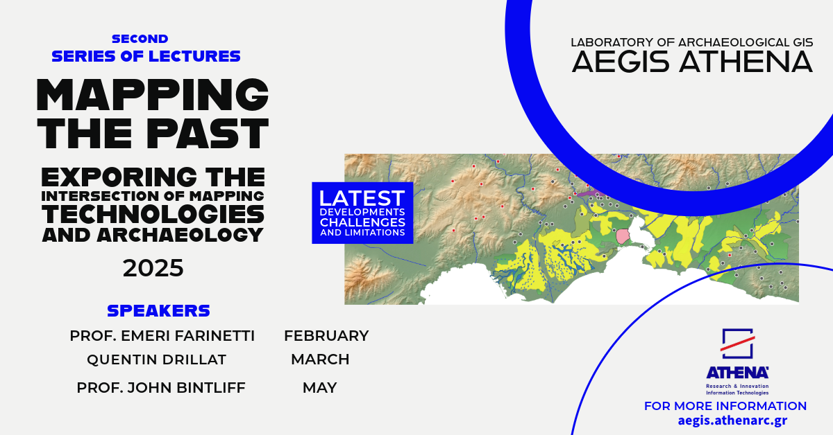
Second Series of Lectures 2025
We are happy to announce the second series of lectures Mapping the Past: Exploring the Intersection of Mapping Technologies and Archaeology. In February 2025, we will welcome E. Farinetti (RomaTre University), followed by J. Bintliff (University of Edinburgh) in April and Q. Drillat (University of Ghent) in early June.
First Series of online lectures
Abstracts of Lectures 2023 – 2024

The Laboratory of Archaeological GIS AeGIS Athena is pleased to announce the upcoming series of online lectures titled “Mapping the Past: Exploring the Intersection of Mapping Technologies and Archaeology”. The series aims to explore the use of mapping technologies and Geographic Information Systems (GIS) in archaeological research and practice, highlighting their potentials and contribution to our understanding of the past.
As archaeology continues to evolve as a discipline, the role of mapping technologies has become increasingly significant. The ability to digitally record and analyze spatial data has revolutionized the way researchers approach the study of ancient sites and landscapes, enabling the creation of detailed maps and visualizations that can aid in the interpretation of archaeological evidence. Through a range of expert speakers and case studies, this series will provide an in-depth exploration of the theoretical and practical applications of GIS and mapping technologies in archaeology. Topics will include the creation of digital maps and models, the use of satellite imagery and LiDAR data, and the integration of GIS with other technologies such as photogrammetry and remote sensing. In addition to showcasing the latest developments in GIS and mapping technologies, this series will also consider some of the challenges and limitations of their use in archaeological research. Speakers will discuss issues such as data quality, the potential for bias in interpretation, and the need for appropriate training and resources for effective implementation.
We invite all those with an interest in the intersection of mapping technologies and archaeology to join us for this exciting series of online lectures.

ΕΛΛΗΝΙΚΑ
Το Εργαστήριο Αρχαιολογικού GIS AeGIS Athena με χαρά ανακοινώνει την επερχόμενη σειρά διαδικτυακών διαλέξεων με τίτλο “Mapping the Past: Exploring the Intersection of Mapping Technologies and Archaeology”. Η σειρά στοχεύει να διερευνήσει τη χρήση τεχνολογιών χαρτογράφησης και Συστημάτων Γεωγραφικών Πληροφοριών (GIS) στην αρχαιολογική έρευνα και πρακτική, αναδεικνύοντας τις δυνατότητες και τη συμβολή τους στην κατανόηση του παρελθόντος.
Καθώς η αρχαιολογία συνεχίζει να εξελίσσεται ως κλάδος, ο ρόλος των τεχνολογιών GIS γίνεται ολοένα και πιο σημαντικός. Η ικανότητα ψηφιακής καταγραφής και ανάλυσης χωρικών δεδομένων έχει φέρει επανάσταση στον τρόπο με τον οποίο οι ερευνητές προσεγγίζουν τη μελέτη αρχαίων θέσεων και τοπίων, επιτρέποντας τη δημιουργία αναλυτικών χαρτών και απεικονίσεων που μπορούν να βοηθήσουν στην ερμηνεία των ανασκαφικών -και όχι μόνο- στοιχείων. Μέσω ειδικών ομιλητών και περιπτωσιολογικών μελετών, αυτή η σειρά διαλέξεων θα προσφέρει μια εις βάθος εξερεύνηση των θεωρητικών και πρακτικών εφαρμογών των τεχνολογιών GIS και χαρτογράφησης στην αρχαιολογία. Τα θέματα θα αφορούν μεταξύ άλλων, τη δημιουργία ψηφιακών χαρτών και μοντέλων, τη χρήση δορυφορικών εικόνων και δεδομένων LiDAR και την ενοποίηση του GIS με άλλες τεχνολογίες όπως η φωτογραμμετρία και η τηλεπισκόπηση. Εκτός από την παρουσίαση των τελευταίων εξελίξεων στις εφαρμογές τεχνολογίων GIS, αυτή η σειρά θα εξετάσει και ορισμένες από τις προκλήσεις και τους περιορισμούς της χρήσης τους στην αρχαιολογική έρευνα. Στόχος είναι οι ομιλητές να συζητήσουν θέματα όπως η ποιότητα των δεδομένων, η πιθανότητα μεροληψίας στην ερμηνεία και η ανάγκη για κατάλληλη εκπαίδευση και πόρους για αποτελεσματική εφαρμογή.
Καλούμε όλους όσους ενδιαφέρονται για τη διασταύρωση των τεχνολογιών GIS και της αρχαιολογίας να συμμετάσχουν σε αυτήν τη συναρπαστική σειρά διαδικτυακών διαλέξεων.