The Roman Aegean Thrace Project presents a spatial and archaeological biography of the landscapes, routes, settlements, and lived experiences of the region we today call Aegean Thrace during the Roman period (approximately 2nd century BCE to 5th century CE). Rather than treating the area as a static backdrop for isolated sites, this project foregrounds the dynamics of space — how people, places, and environments interacted over long durations under shifting political, economic, and ecological conditions.

Lake Vistonis and the massif of Rhodope (Photo: Nikos Kazakis)
At its core, the project integrates Geographic Information Systems (GIS) as both a methodological frame and a visual language. GIS enables us to view the Roman Aegean Thrace not just as a collection of artifacts and sites, but as a terrain of movement, memory, and agency. Through layered spatial data, we explore how natural features (rivers, wetlands, mountain corridors), patterns of connectivity (roads, paths, coastal routes), and settlement networks reveal continuities and transformations across centuries.
This interface brings that spatial logic to the foreground, allowing scholars, students, and interested publics to engage with the region’s archaeological topography, settlement patterns, and transport networks through interactive mapping and curated thematic views. The data presented here underpin the analyses found in the associated monograph and reflect ongoing efforts to document, model, and interpret the material traces of Roman period Thrace in its broader regional context.

By weaving landscape and GIS together, the Roman Aegean Thrace Project invites users to see beyond individual sites and understand the region as an interconnected historical environment shaped by human and ecological forces alike.
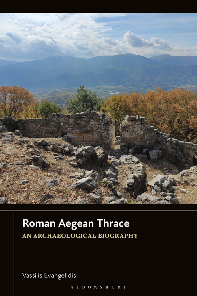
The project is forthcoming with Bloomsbury Academic with the title Roman Aegean Thrace: an archaoelogical biography. The book offers a comprehensive archaeological and historical study of Aegean Thrace from the late Hellenistic period to Late Antiquity (2nd century BCE–5th century CE), examining how local communities—particularly Thracian populations beyond the Greek coastal cities—actively shaped their landscapes under Roman rule. Moving beyond traditional models of “Romanization,” the study emphasizes continuity, adaptation, and local agency, exploring rural settlements, mountain fortifications, ritual sites, tumulus burials, and emerging inland cities within a longue durée perspective. By situating imperial developments within enduring regional frameworks, the book argues for a more nuanced understanding of empire as a layered and negotiated process rather than a uniform transformation.
Related publications
2022 Evangelidis V. An archaeology of Catastrophe and Resilience in Aegean Thrace: environmental risks and human inflicted hazards in RaLaTh 4th International Roman and Late Antique Thrace Conference (Burgas October 2021) – forthcoming.
2020 Evangelidis V., The impact of Via Egnatia on the settlement patterns of Aegean Thrace: orthodoxies and considerations, in RaLaTh 3rd International Roman and Late Antique Thrace Conference (Komotene October 2019 -forthcoming).