AeGIS Athena Lab is participating in the Kephisos Survey, conducted by the German Archaeological Institute as part of the broader project “Topographical Research in the Kephisos Valley”
The survey focused on eight potential Roman and late Roman rural settlements located north of the Kephisos River, with distances between them ranging from 200 meters to 1,500 meters. The archaeological remains, consisting mainly of surface pottery and building materials, were identified on low elevations within cultivated fields. Their distribution along the river suggests the existence of an ancient main road that may have crossed the valley.
Project Contributions:
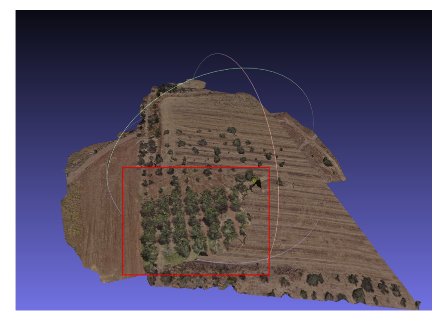
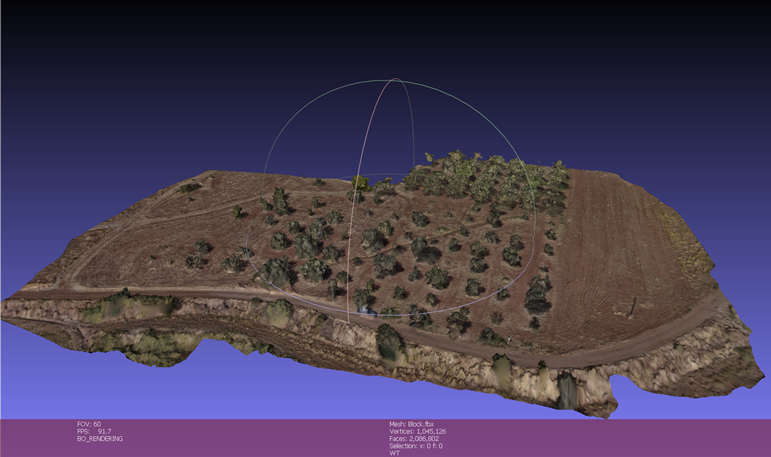
- Mapping: Vassilis Evangelidis and Chairi Kiourt have undertaken detailed drone-based mapping of the area.
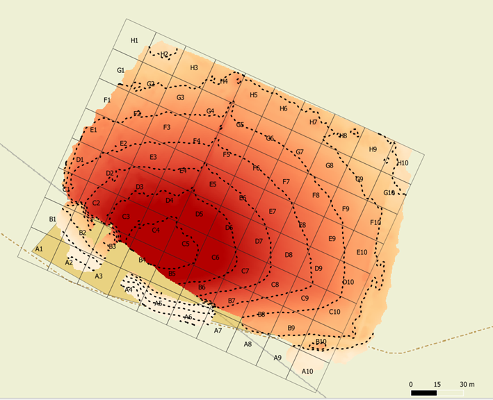
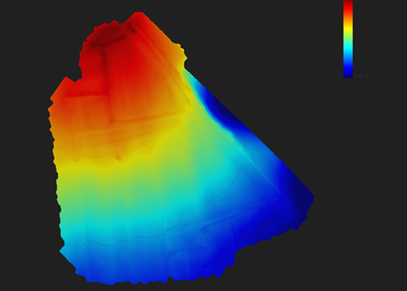
- GIS Database: The AeGIS Athena Lab team has created a GIS spatial database to integrate and analyze the results of the surface survey.
Objectives:
- To document and analyze the spatial distribution of rural settlements in the Kephisos Valley.
- To understand ancient land use patterns and connectivity through potential roads and agricultural networks.
- To provide an accessible spatial dataset for ongoing and future archaeological research